ABERFOYLE
TIN PROJECT
Ownership
Tenure
EL27/2004
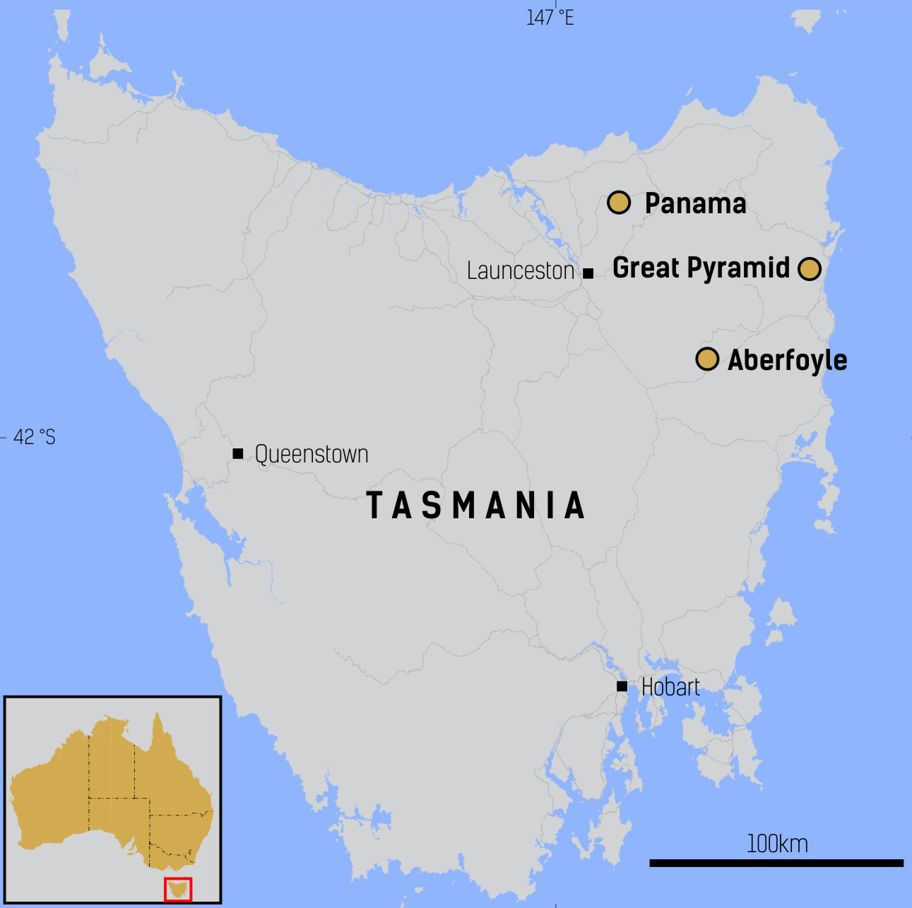
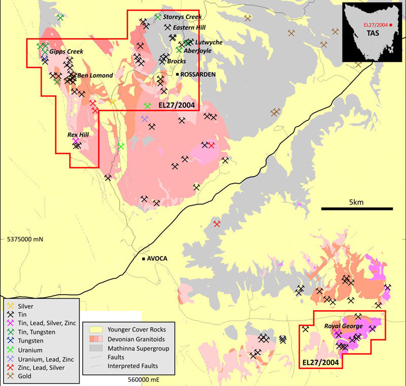
96 square kilometres occurring in two separate blocks
Renewal Application Lodged
Target
Geology
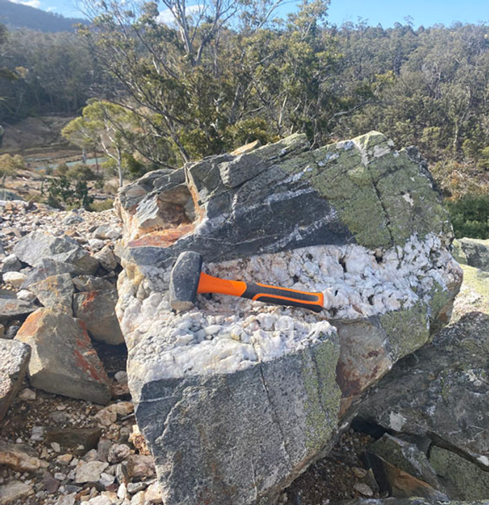
Historic records and drilling indicate the mineralised vein system at Aberfoyle is up to 60 metres wide, 800 metres in length and extends approximately 400 metres in the down dip direction. The Lutwyche prospect occurs approximately 1 kilometre northeast of Aberfoyle and is comprised of two sets of mineralised veins which can be traced along strike for approximately 750 metres.
An additional sediment-hosted vein system, the Kookaburra, is located 200 metres southwest of the main Lutwyche vein system and is known to be approximately 40 metres wide with an along strike extent of at least several hundred metres.
Mineralisation at Storeys Creek is hosted within a 30 to 50 metre wide, north-northwest striking sheeted vein array which dips to the southwest. The system can be traced along strike for 300 metres and extends 400 metres in the down dip direction. The Ben Lomond Granite crops out approximately 1km west of the mine and has been identified at depth at 180 metres below the surface.
Additional poorly known sediment-hosted vein systems occur at Brocks, Eastern Hill and elsewhere in the tenement.
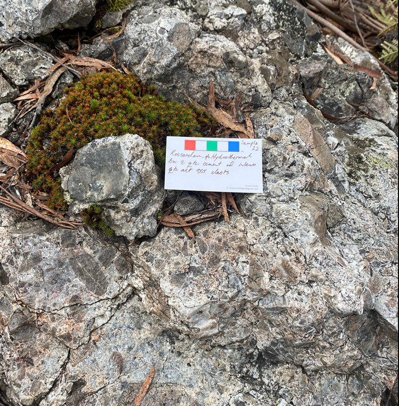
Granite-hosted occurrences are developed throughout the exposed areas of granitoid outcrop and consist of vein, disseminated and breccia style occurrences with associated greisen style alteration. These have given rise to historic small scale hard rock and more extensive alluvial production in the Gipps Creek, Rex Hill, Ben Lomond, Royal George and other areas.
TinOne Resources Inc. interprets that both sediment- and granite-hosted systems have developed in structural corridors of multi-kilometre extent and that historic exploration has not systematically explored these corridors. TinOne believes systematic exploration of these prospective corridors will result in the definition of high-quality drill targets.
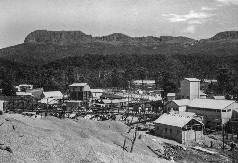
Historic Production and Exploration
Drilling has been concentrated in the immediate vicinity of historic mines with minimal drilling conducted away from the historic mine infrastructure. TinOne Resouces Inc. considers that extensive areas of known systems have had little or no systematic exploration.
1) Seymour, D.B., Green, G.R. and Calver, C.R. 2006. The geology and mineral deposits of Tasmania: a summary. Geological Survey Bulletin 72. Mineral Resources Tasmania.
2) Blissett, A.H. 1959. The Geology of the Rossarden-Storeys Creek District. Geological Survey Bulletin 46. Tasmanian department of Mines.
3) Purvis, J.G. 1979. Initial exploration at the old Royal George Tin Mine. CRA Exploration.
4) Estimates of historical production are not estimates mineral resource or reserve estimates and no guarantee exists that historical records are accurate or that historical size and grade are a reliable indicator of future results. A qualified person has not done sufficient work to verify these historical production estimates.
TinOne Resources Inc. Exploration
TinOne Resources Inc. also undertook a trial 3D IP-Resistivity survey over the Lutwyche-Kookaburra vein system. No modern geophysics has been conducted across these vein systems and geological observation of quartz-pyrite alteration and veining suggested to TinOne that IP-Resistivity may be an applicable technique.
The trial survey was conducted on north easterly oriented lines and was highly successful in confirming that known mineralisation at the Lutwyche and Kookaburra veins systems is associated with a strong chargeability response. This has provided encouragement that IP-resistivity surveys will provide valuable data for definition of vein corridors and drill target definition.
Exploration Plans
TinOne Resources Inc. plans to execute systematic exploration utilising modern techniques to define drill targets.
This is likely to include:
- Continued capture of historic data and development of a Lutwyche-Kookaburra-Aberfoyle-Storeys Creek 3D model. Use of this model to determine remaining potential in these known vein systems
- Detailed surface mapping, rock sampling and ultra-low detection-limit soil sampling of to define mineralised corridors
- Gradient array IP/resistivity and potentially pole-dipole IP/resistivity
- Reverse circulation and/or diamond drilling of integrated targets

